What can the GCF do for you?
The Geospatial Core Facility (GCF) at Montana State University (MSU) is a university-wide resource providing advanced geospatial technologies, data analysis, and expertise to support interdisciplinary research. Operated under the Office of Research, the GCF collaborates with faculty, staff, and students across multiple disciplines to tackle complex spatial challenges using cutting-edge geospatial tools.
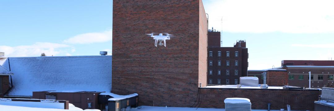
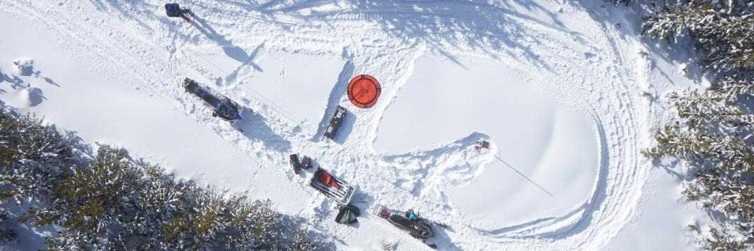
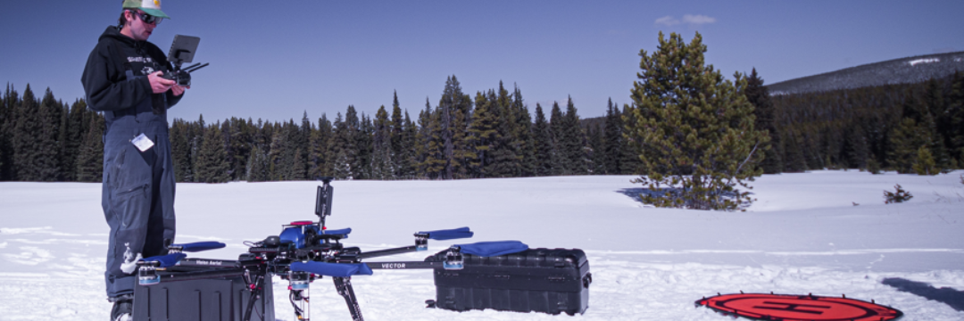
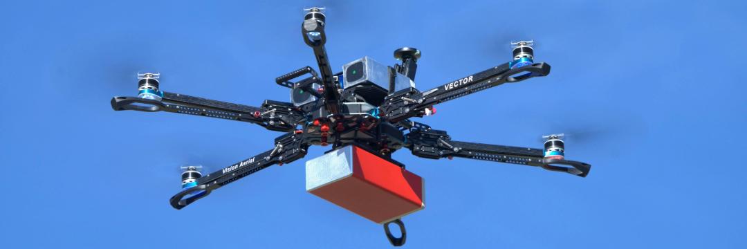
The facility offers access to specialized software, high-performance computing, and state-of-the-art hardware, including UAV-based remote sensing systems, high-precision GNSS units, and mobile GIS platforms. Researchers can utilize high-resolution satellite imagery, LiDAR datasets, and spatial modeling tools to advance projects in environmental science, agriculture, hydrology, urban planning, and beyond.
Beyond research support, the GCF is dedicated to training the next generation of geospatial professionals through hands-on learning, workshops, and expert consultations. Researchers and students benefit from specialized guidance, ensuring high-quality spatial data collection, analysis, and interpretation.
The GCF also serves as a collaborative hub, bringing together MSU researchers, government agencies, and industry partners to drive innovation in geospatial science and strengthen the broader research community.
Services
- Custom Data Visualization & Cartography
Clear, compelling maps and graphics tailored to your audience. - Remote Sensing & Image Analysis
Satellite and aerial imagery processing for land cover, change detection, and environmental monitoring. - UAV & LiDAR-Based Mapping
High-resolution aerial mapping using drone and LiDAR technologies. - High-Precision GNSS/GPS Mapping
Sub-meter to centimeter accuracy for field data collection and site surveys. - Advanced Geospatial Analysis
Spatial modeling, terrain analysis, and spatial statistics for decision support.
Acknowledging the GCF
Acknowledgment of core facility services and instruments supported by Montana State University are required in publications. Learn more about how to acknowledge the Geospatial Core Facility in your publication here.

